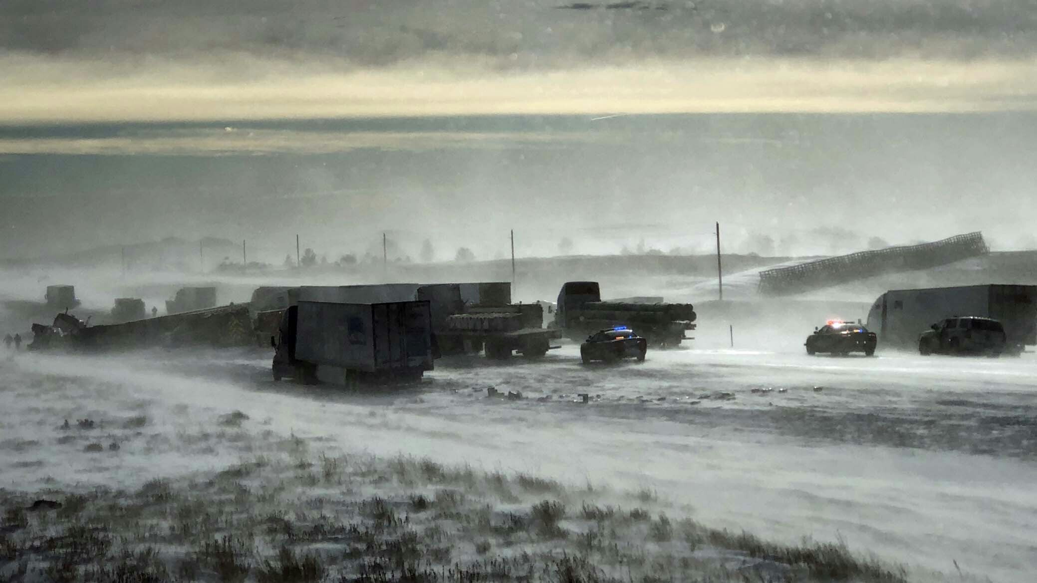
Wyoming’s weatherman Don Day says the forthcoming winter storm will highly impact travelers across the state. This could mean more road closures as we’ve seen over the past few days.
Day says the storm will begin affecting travel Sunday night and last through mid-day Tuesday.
That means much colder temperatures, snow, and blowing snow are all likely. Many areas of the state will drop well-below zero, he said.
Appropriate for Super Bowl Sunday, Don Day turns into a modern-day John Madden in his YouTube video with his own version of a telestrator.
You can watch the telestration (below) or we’ll walk you through it:
Sunday through Early Monday
Northern Wyoming
By sundown, expect to see snow forming along the Wyoming-Montana border near the Sheridan-area, Cody, Powell, and through the Yellowstone Park area.
Western and Central Wyoming
By midnight tonight, snow will expand to western and southwestern Wyoming. Snow will then move east through South Pass, into Lander, Casper, and near the Douglas areas.
By sunrise Monday, snow will be reaching Rock Springs and Green River.
Eastern Wyoming
Tonight through the morning hours on Monday, areas of fog and freezing drizzle will develop along and south of the Laramie Range impacting I-25.
Fog and freezing drizzle will also impact the summit between Laramie and Cheyenne and to both the Nebraska and Colorado state lines. Look out for icy conditions on Sunday night and early Monday.
Monday Morning Through Mid-Day Tuesday
By Monday afternoon, all of Wyoming will experience snow, blowing snow, and falling temperatures.
Look for snow throughout Carbon County and the south central portions of Interstate 80 including Rawlins, Laramie, Saratoga, and the Shirley Basin.
Expect considerable blowing and drifting of snow on Interstate 80 between Wamsutter and Rock Springs with strong winds.
Strong winds will also cause considerable blowing and drifting of snow along Arlington and Elk Mountain and between Laramie and Cheyenne on I-80.
Blowing snow will also occur along I-25 from Monday afternoon through Tuesday morning and out to the Nebraska and South Dakota border.
For more information, visit WyoRoad.info or call 511.


