By Ike Fredregill, Cowboy State Daily
Ample spring precipitation statewide is helping southeast Wyoming bounce back after a dry year in 2018, a National Oceanic and Atmospheric Administration hydrologist said.
“We’re a little above normal for precipitation across the state,” NOAA Hydrologist Jim Fahey said. “The Laramie Range, the Snowies and the Sierra Madres are all looking a lot better this year than previous years.”
Wyoming’s precipitation in April was 115 percent to 120 percent above average, and mountain snowpack across the state is close to 100 percent of median, according to NOAA’s water supply outlook for May 2019.
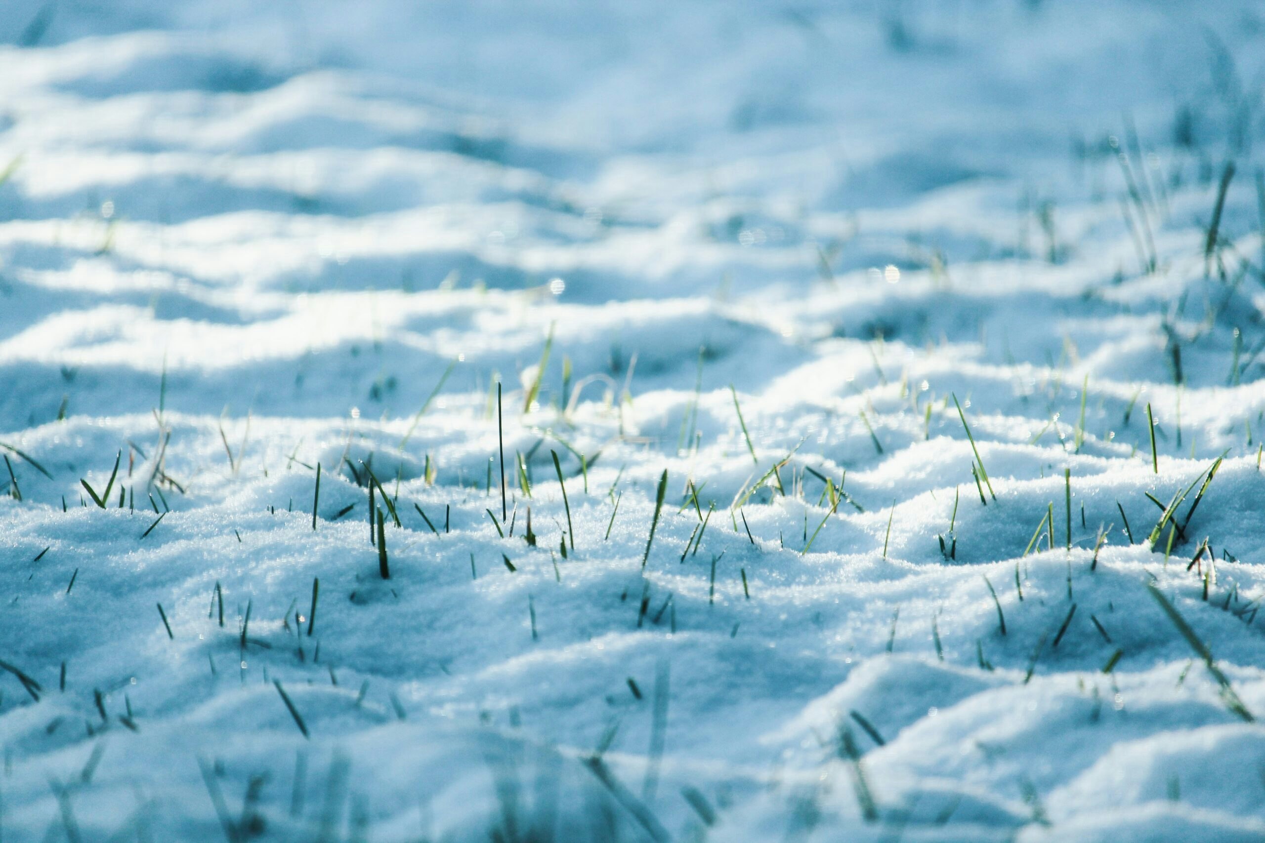
“The snow level is lowering, but there probably won’t be much runoff next week,” Fahey said Friday, May 17. “With cooler temperatures in the forecast, it may even accumulate a little bit.”
Although most of the state has above average precipitation rates, north central Wyoming around the Tongue and Powder River basins only received about 80 percent of average precipitation, the outlook states.
“Concern areas for too little precipitation would be the northern part of Powder River and the Tongue River, but they have some time catch up a little bit,” Fahey explained. “Right now, we don’t really have any concern areas for too much precipitation.”
The state’s reservoirs reached about 80 percent of capacity by early May, which Fahey said is a marked improvement from years past.
“The storages for early May are above average,” he said. “That’s a good thing. During the drought years, our reservoirs’ capacities were down to 40 percent.”
Fire outlook
Increased precipitation statewide could mean reduced fire activity this summer, but U.S. Forest Service spokesperson Aaron Voos said too much precipitation could also be problematic.
“There is a danger associated with good moisture years,” Voos explained. “In years of good precipitation, you’ve got more moisture in your fuels, but you also have more fine fuels, like grass.”
If the fine fuels dry out later in the season, they can carry a wildfire over a wider area than heavy fuels such as trees, he said.
Despite the dangers associated with higher precipitation years, Voos said data from the Rocky Mountain Area Coordination Center indicated Wyoming could experience average or below average fire season.
“I have to point out, we received a similar outlook around this time last year,” he added. “Then we had the Badger Creek Fire, Ryan Fire and Silver Creek Fire, which all burned more than 20,000 acres each.”
Both the Badger Creek Fire and Ryan Fire affected large portions of Southeast Wyoming, primarily in the Snowy Mountains, while the Silver Creek Fire blazed across the Routt National Forest in Colorado.
Fahey said NOAA was also monitoring the possibility of drier conditions in late May and early June.
“Hopefully, we don’t get a warm up then a rainfall in early June,” he said. “That’s a worst-case scenario for us, because that’s usually where we can get our worst cases of flash flooding. But, the long range forecast for May continues to look wet with below average temperatures, so we’re looking good.”


